Six new houses where the railway used to run
Introduction
The photograph on this page of Six new houses where the railway used to run by John Haynes as part of the Geograph project.
The Geograph project started in 2005 with the aim of publishing, organising and preserving representative images for every square kilometre of Great Britain, Ireland and the Isle of Man.

There are currently over 7.5m images from over 14,400 individuals and you can help contribute to the project by visiting https://www.geograph.org.uk
Six new houses where the railway used to run
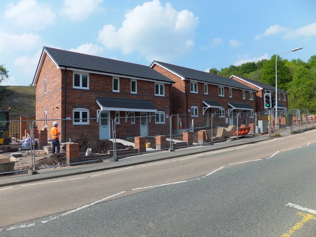
Image: © John Haynes Taken: 27 May 2016
These new houses are built on the site where the Rhiwabon to Abermaw railway crossed the A539. Image]
Images are licensed for reuse under creativecommons.org/licenses/by-sa/2.0
Image Location
Latitude
52.980453
Longitude
-3.07649