Looking west-northwest along Monkton Street
Introduction
The photograph on this page of Looking west-northwest along Monkton Street by John Baker as part of the Geograph project.
The Geograph project started in 2005 with the aim of publishing, organising and preserving representative images for every square kilometre of Great Britain, Ireland and the Isle of Man.

There are currently over 7.5m images from over 14,400 individuals and you can help contribute to the project by visiting https://www.geograph.org.uk
Looking west-northwest along Monkton Street
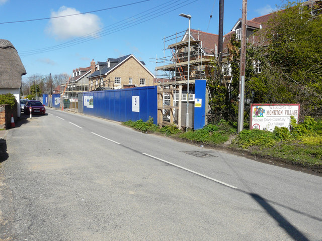
Image: © John Baker Taken: 17 Apr 2016
Planning permission has been granted by Thanet District Council under application number F/TH/14/0881 for the “re-development of site to include erection of 8 detached three-storey dwellings, with associated parking, and access leading off (of) Monkton Street”. The re-development, at numbers 71-73 in Image, is to be known as Monocstune Mews. This image of Image shows the re-development after completion.
Images are licensed for reuse under creativecommons.org/licenses/by-sa/2.0
Image Location
Latitude
51.337871
Longitude
1.285649