Allander Water
Introduction
The photograph on this page of Allander Water by Lairich Rig as part of the Geograph project.
The Geograph project started in 2005 with the aim of publishing, organising and preserving representative images for every square kilometre of Great Britain, Ireland and the Isle of Man.

There are currently over 7.5m images from over 14,400 individuals and you can help contribute to the project by visiting https://www.geograph.org.uk
Allander Water
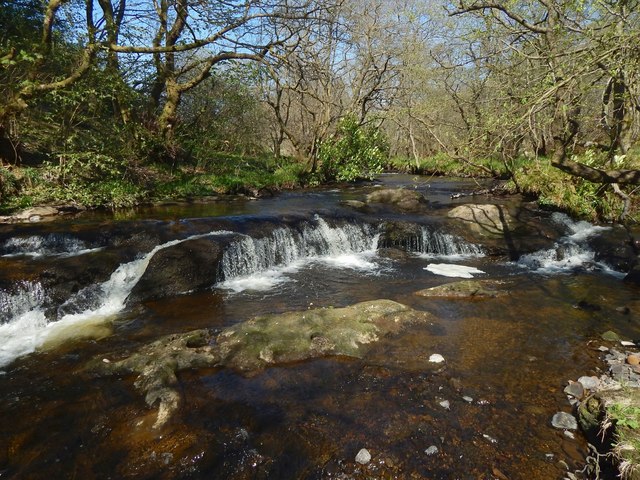
Image: © Lairich Rig Taken: 9 May 2016
The water level was low after a period of dry weather. For the river's usual appearance here, see Image For a view in the opposite direction, see Image
Images are licensed for reuse under creativecommons.org/licenses/by-sa/2.0
Image Location
Latitude
55.956642
Longitude
-4.331273