The Abertillery Gateway
Introduction
The photograph on this page of The Abertillery Gateway by Chris Andrews as part of the Geograph project.
The Geograph project started in 2005 with the aim of publishing, organising and preserving representative images for every square kilometre of Great Britain, Ireland and the Isle of Man.

There are currently over 7.5m images from over 14,400 individuals and you can help contribute to the project by visiting https://www.geograph.org.uk
The Abertillery Gateway
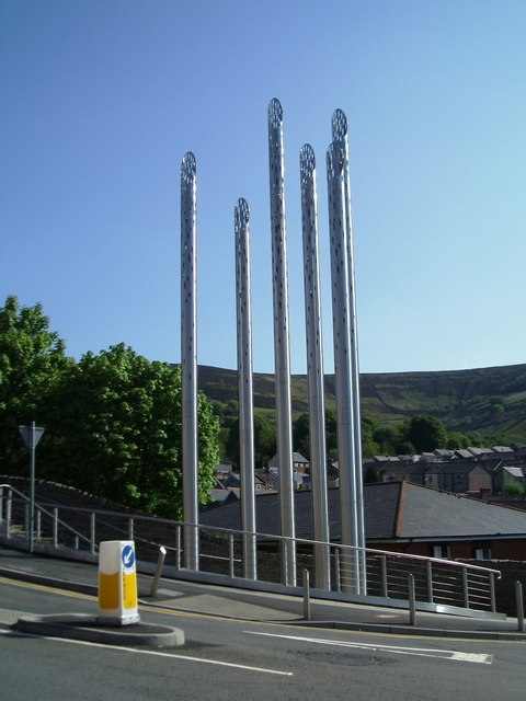
Image: © Chris Andrews Taken: 24 May 2016
A public artwork. It is meant to represent the historic locations of former colliery sites from the surrounding area. The spires also have stainless steel base plates engraved with the name of the colliery they are representing.
Images are licensed for reuse under creativecommons.org/licenses/by-sa/2.0
Image Location
Latitude
51.732191
Longitude
-3.135335