St Michael's Primary School nameboard, Bournemouth
Introduction
The photograph on this page of St Michael's Primary School nameboard, Bournemouth by Jaggery as part of the Geograph project.
The Geograph project started in 2005 with the aim of publishing, organising and preserving representative images for every square kilometre of Great Britain, Ireland and the Isle of Man.

There are currently over 7.5m images from over 14,400 individuals and you can help contribute to the project by visiting https://www.geograph.org.uk
St Michael's Primary School nameboard, Bournemouth
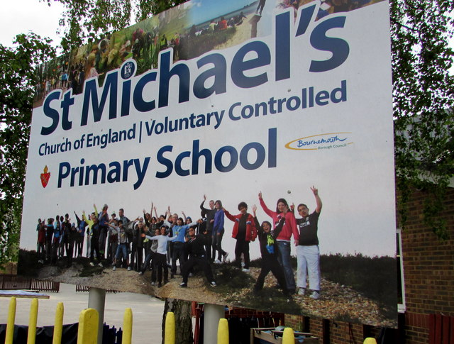
Image: © Jaggery Taken: 25 May 2016
On the corner of West Hill Road and Durley Road, near the SE side http://www.geograph.org.uk/photo/4966928 of the Church of England Voluntary Controlled Primary School.
Images are licensed for reuse under creativecommons.org/licenses/by-sa/2.0
Image Location
Latitude
50.718843
Longitude
-1.887475