Housing around Shadwell Basin
Introduction
The photograph on this page of Housing around Shadwell Basin by DS Pugh as part of the Geograph project.
The Geograph project started in 2005 with the aim of publishing, organising and preserving representative images for every square kilometre of Great Britain, Ireland and the Isle of Man.

There are currently over 7.5m images from over 14,400 individuals and you can help contribute to the project by visiting https://www.geograph.org.uk
Housing around Shadwell Basin
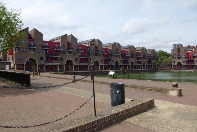
Image: © DS Pugh Taken: 21 May 2016
Following redevelopment in the late 1980s, the old docks here are now surrounded by housing.
Images are licensed for reuse under creativecommons.org/licenses/by-sa/2.0
Image Location
Latitude
51.508545
Longitude
-0.054529