West Bergholt Village Name sign
Introduction
The photograph on this page of West Bergholt Village Name sign by Geographer as part of the Geograph project.
The Geograph project started in 2005 with the aim of publishing, organising and preserving representative images for every square kilometre of Great Britain, Ireland and the Isle of Man.

There are currently over 7.5m images from over 14,400 individuals and you can help contribute to the project by visiting https://www.geograph.org.uk
West Bergholt Village Name sign
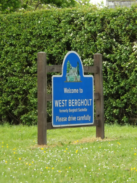
Image: © Geographer Taken: 14 May 2016
Off the B1508 Colchester Road at the junction with Nayland and Lexden Roads
Images are licensed for reuse under creativecommons.org/licenses/by-sa/2.0
Image Location
Latitude
51.919097
Longitude
0.84753