Redevelopment of The Old Court House, Grange Road
Introduction
The photograph on this page of Redevelopment of The Old Court House, Grange Road by John Baker as part of the Geograph project.
The Geograph project started in 2005 with the aim of publishing, organising and preserving representative images for every square kilometre of Great Britain, Ireland and the Isle of Man.

There are currently over 7.5m images from over 14,400 individuals and you can help contribute to the project by visiting https://www.geograph.org.uk
Redevelopment of The Old Court House, Grange Road
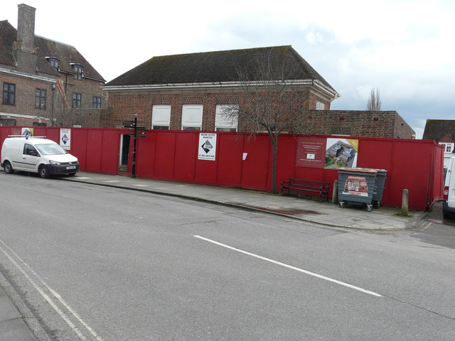
Image: © John Baker Taken: 8 Apr 2016
The board, attached to the hoarding above the bench, reads “a development of 1 and 2 bedroom apartments in the old house”.
Images are licensed for reuse under creativecommons.org/licenses/by-sa/2.0
Image Location
Latitude
50.984845
Longitude
-0.739858