Housebuilding at Trent Basin
Introduction
The photograph on this page of Housebuilding at Trent Basin by John Sutton as part of the Geograph project.
The Geograph project started in 2005 with the aim of publishing, organising and preserving representative images for every square kilometre of Great Britain, Ireland and the Isle of Man.

There are currently over 7.5m images from over 14,400 individuals and you can help contribute to the project by visiting https://www.geograph.org.uk
Housebuilding at Trent Basin
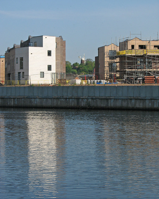
Image: © John Sutton Taken: 16 May 2016
A May-morning zoom view across the river, with the new blocks framing Green's Windmill in the middle of Sneinton.
Images are licensed for reuse under creativecommons.org/licenses/by-sa/2.0
Image Location
Latitude
52.94336
Longitude
-1.124058