Field by the A31, Bentley
Introduction
The photograph on this page of Field by the A31, Bentley by Alan Hunt as part of the Geograph project.
The Geograph project started in 2005 with the aim of publishing, organising and preserving representative images for every square kilometre of Great Britain, Ireland and the Isle of Man.

There are currently over 7.5m images from over 14,400 individuals and you can help contribute to the project by visiting https://www.geograph.org.uk
Field by the A31, Bentley
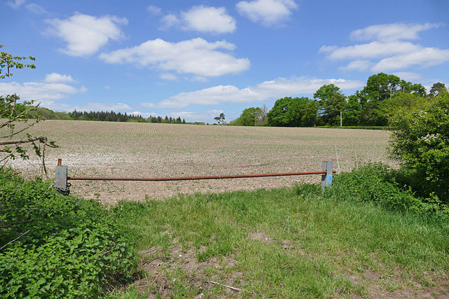
Image: © Alan Hunt Taken: 14 May 2016
The field north of the A31 lay-by next to the Bull Inn at Bentley. The tree line to the right is Crondall Road and Ganscombe Copse forms the northern boundary.
Images are licensed for reuse under creativecommons.org/licenses/by-sa/2.0
Image Location
Latitude
51.194781
Longitude
-0.849491