Sneinton Greenway
Introduction
The photograph on this page of Sneinton Greenway by John Sutton as part of the Geograph project.
The Geograph project started in 2005 with the aim of publishing, organising and preserving representative images for every square kilometre of Great Britain, Ireland and the Isle of Man.

There are currently over 7.5m images from over 14,400 individuals and you can help contribute to the project by visiting https://www.geograph.org.uk
Sneinton Greenway
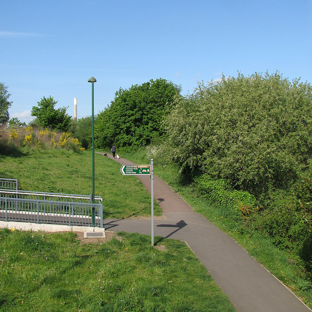
Image: © John Sutton Taken: 16 May 2016
A system of paths on former Great Northern Railway land. The view is from the new footbridge over the railway at Trent Lane.
Images are licensed for reuse under creativecommons.org/licenses/by-sa/2.0
Image Location
Latitude
52.948214
Longitude
-1.124109