Sneinton: the end of Cosby Road
Introduction
The photograph on this page of Sneinton: the end of Cosby Road by John Sutton as part of the Geograph project.
The Geograph project started in 2005 with the aim of publishing, organising and preserving representative images for every square kilometre of Great Britain, Ireland and the Isle of Man.

There are currently over 7.5m images from over 14,400 individuals and you can help contribute to the project by visiting https://www.geograph.org.uk
Sneinton: the end of Cosby Road
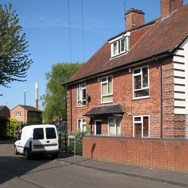
Image: © John Sutton Taken: 16 May 2016
A small estate of inter-wars council houses south of Colwick Road. Beyond are newer houses on Ivatt Drive, built on railway land, and further away the chimney of Eastcroft Incinerator.
Images are licensed for reuse under creativecommons.org/licenses/by-sa/2.0
Image Location
Latitude
52.948418
Longitude
-1.127379