Ashtree Farm, Willaston
Introduction
The photograph on this page of Ashtree Farm, Willaston by Eirian Evans as part of the Geograph project.
The Geograph project started in 2005 with the aim of publishing, organising and preserving representative images for every square kilometre of Great Britain, Ireland and the Isle of Man.

There are currently over 7.5m images from over 14,400 individuals and you can help contribute to the project by visiting https://www.geograph.org.uk
Ashtree Farm, Willaston
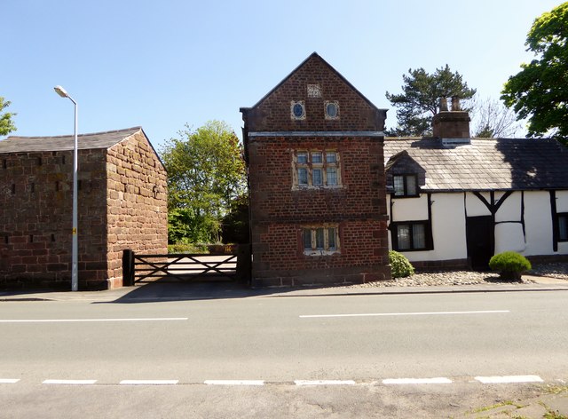
Image: © Eirian Evans Taken: 14 May 2016
Early 17th century timber framed farmhouse with a later brick wing.
Images are licensed for reuse under creativecommons.org/licenses/by-sa/2.0
Image Location
Latitude
53.289941
Longitude
-3.006397