Sneinton: down St Stephen's Road
Introduction
The photograph on this page of Sneinton: down St Stephen's Road by John Sutton as part of the Geograph project.
The Geograph project started in 2005 with the aim of publishing, organising and preserving representative images for every square kilometre of Great Britain, Ireland and the Isle of Man.

There are currently over 7.5m images from over 14,400 individuals and you can help contribute to the project by visiting https://www.geograph.org.uk
Sneinton: down St Stephen's Road
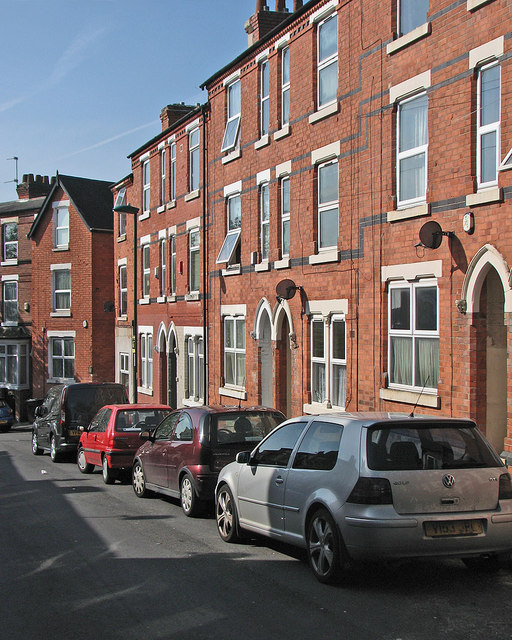
Image: © John Sutton Taken: 16 May 2016
Sneinton expanded in the last twenty years of the nineteenth century. The gothic-arched paired doorways hereabouts all have male and female label stops: see Image] and Image
Images are licensed for reuse under creativecommons.org/licenses/by-sa/2.0
Image Location
Latitude
52.950238
Longitude
-1.130319