Hall Lane, Soyland
Introduction
The photograph on this page of Hall Lane, Soyland by Humphrey Bolton as part of the Geograph project.
The Geograph project started in 2005 with the aim of publishing, organising and preserving representative images for every square kilometre of Great Britain, Ireland and the Isle of Man.

There are currently over 7.5m images from over 14,400 individuals and you can help contribute to the project by visiting https://www.geograph.org.uk
Hall Lane, Soyland
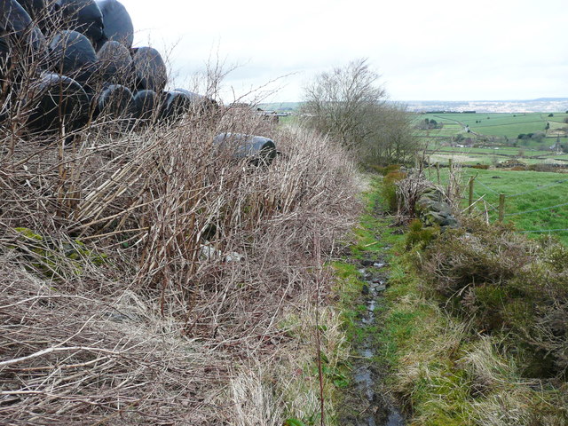
Image: © Humphrey Bolton Taken: 28 Mar 2016
The land to the left has been a tip, and is now used for storage. Vegetation has encroached on the left side of the lane.
Images are licensed for reuse under creativecommons.org/licenses/by-sa/2.0
Image Location
Latitude
53.688777
Longitude
-1.968012