Access land by Oak Road
Introduction
The photograph on this page of Access land by Oak Road by Derek Harper as part of the Geograph project.
The Geograph project started in 2005 with the aim of publishing, organising and preserving representative images for every square kilometre of Great Britain, Ireland and the Isle of Man.

There are currently over 7.5m images from over 14,400 individuals and you can help contribute to the project by visiting https://www.geograph.org.uk
Access land by Oak Road
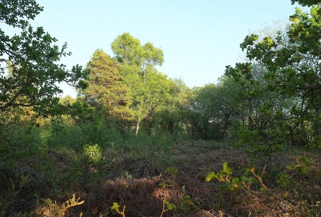
Image: © Derek Harper Taken: 15 May 2016
The view on the other side of the lane from Image Perhaps rather clearer earlier in the day when the sun was high. The access land forms a triangle between Oak Road and two tracks.
Images are licensed for reuse under creativecommons.org/licenses/by-sa/2.0
Image Location
Latitude
50.725912
Longitude
-3.342623