Stewarton from the southwest
Introduction
The photograph on this page of Stewarton from the southwest by M J Richardson as part of the Geograph project.
The Geograph project started in 2005 with the aim of publishing, organising and preserving representative images for every square kilometre of Great Britain, Ireland and the Isle of Man.

There are currently over 7.5m images from over 14,400 individuals and you can help contribute to the project by visiting https://www.geograph.org.uk
Stewarton from the southwest
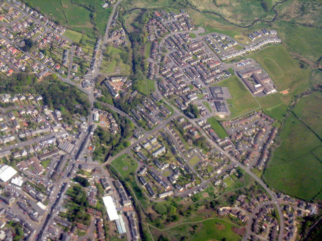
Image: © M J Richardson Taken: 11 May 2016
The Annick Water runs through the centre from top to bottom. The two schools at upper right are Nether Robertland Primary and Stewarton Academy.
Images are licensed for reuse under creativecommons.org/licenses/by-sa/2.0
Image Location
Latitude
55.680885
Longitude
-4.509704