Raglan Arms, Upper Church Road
Introduction
The photograph on this page of Raglan Arms, Upper Church Road by John Baker as part of the Geograph project.
The Geograph project started in 2005 with the aim of publishing, organising and preserving representative images for every square kilometre of Great Britain, Ireland and the Isle of Man.

There are currently over 7.5m images from over 14,400 individuals and you can help contribute to the project by visiting https://www.geograph.org.uk
Raglan Arms, Upper Church Road
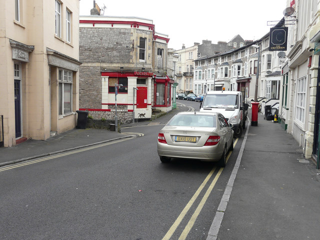
Image: © John Baker Taken: 7 Apr 2016
Located on the corner of Greenfield Place, the public house lies derelict. One can see the reason for its demise – it lies opposite The Criterion.
Images are licensed for reuse under creativecommons.org/licenses/by-sa/2.0
Image Location
Latitude
51.353283
Longitude
-2.985638