On the track that runs SSE from Scales
Introduction
The photograph on this page of On the track that runs SSE from Scales by Phil Davies as part of the Geograph project.
The Geograph project started in 2005 with the aim of publishing, organising and preserving representative images for every square kilometre of Great Britain, Ireland and the Isle of Man.

There are currently over 7.5m images from over 14,400 individuals and you can help contribute to the project by visiting https://www.geograph.org.uk
On the track that runs SSE from Scales
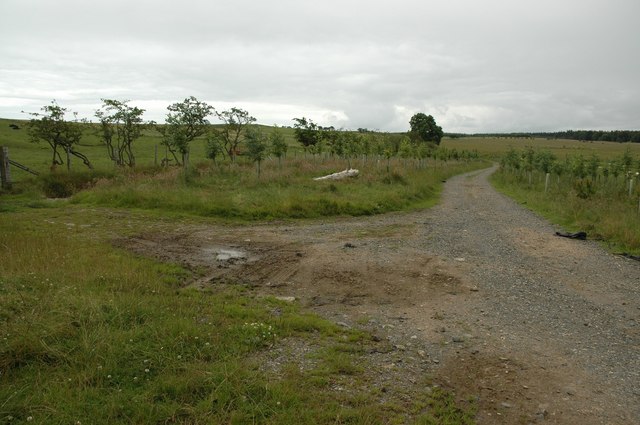
Image: © Phil Davies Taken: 15 Jul 2005
This point is about 600m from Scales. Recent tree planting is visible beside the track. The land to the east is used for silage; the land to the west for grazing sheep. The woodland in the distance is part of Greystoke Forest at the join between NY3832 and NY3831.
Images are licensed for reuse under creativecommons.org/licenses/by-sa/2.0
Image Location
Latitude
54.68555
Longitude
-2.958727