The end of the line, Stephenson Street
Introduction
The photograph on this page of The end of the line, Stephenson Street by Alan Murray-Rust as part of the Geograph project.
The Geograph project started in 2005 with the aim of publishing, organising and preserving representative images for every square kilometre of Great Britain, Ireland and the Isle of Man.

There are currently over 7.5m images from over 14,400 individuals and you can help contribute to the project by visiting https://www.geograph.org.uk
The end of the line, Stephenson Street
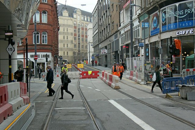
Image: © Alan Murray-Rust Taken: 11 May 2016
The Centenary Square extension will continue to the right via Pinfold Street in the distance.
Images are licensed for reuse under creativecommons.org/licenses/by-sa/2.0
Image Location
Latitude
52.478635
Longitude
-1.900424