Deacon Road, Widnes
Introduction
The photograph on this page of Deacon Road, Widnes by andy as part of the Geograph project.
The Geograph project started in 2005 with the aim of publishing, organising and preserving representative images for every square kilometre of Great Britain, Ireland and the Isle of Man.

There are currently over 7.5m images from over 14,400 individuals and you can help contribute to the project by visiting https://www.geograph.org.uk
Deacon Road, Widnes
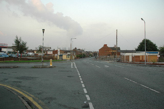
Image: © andy Taken: 5 Sep 2005
This is a view looking east along Deacon Road (aka B5178) in Widnes at the junction with Appleton Village (that's the name of the road to the left) and Frederick Street (to the right). The ever present Fiddlers Ferry Power Station can be seen in the far distance.
Images are licensed for reuse under creativecommons.org/licenses/by-sa/2.0
Image Location
Latitude
53.370194
Longitude
-2.729922