Signposts at Toddington
Introduction
The photograph on this page of Signposts at Toddington by Dave Bushell as part of the Geograph project.
The Geograph project started in 2005 with the aim of publishing, organising and preserving representative images for every square kilometre of Great Britain, Ireland and the Isle of Man.

There are currently over 7.5m images from over 14,400 individuals and you can help contribute to the project by visiting https://www.geograph.org.uk
Signposts at Toddington
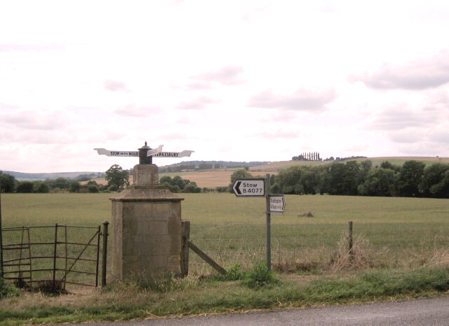
Image: © Dave Bushell Taken: 5 Sep 2005
Signpost at Toddington Village, Gloucestershire, sited at Church Lane junction with B4077 Stow-on-the-Wold/Tewkesbury road. A red post-box used to be inset into the frontage from Victorian times as may be noted by paler sandstone facia until post 1970s when additional housing built within old village facilitated a post-box to be re-sited more conveniently within the centre of the village further into Church Lane.
Images are licensed for reuse under creativecommons.org/licenses/by-sa/2.0
Image Location


Leaflet Map data © OpenStreetMap
Latitude
51.990941
Longitude
-1.950439