Field near Kelvedon & Feering Cricket Club
Introduction
The photograph on this page of Field near Kelvedon & Feering Cricket Club by Clint Mann as part of the Geograph project.
The Geograph project started in 2005 with the aim of publishing, organising and preserving representative images for every square kilometre of Great Britain, Ireland and the Isle of Man.

There are currently over 7.5m images from over 14,400 individuals and you can help contribute to the project by visiting https://www.geograph.org.uk
Field near Kelvedon & Feering Cricket Club
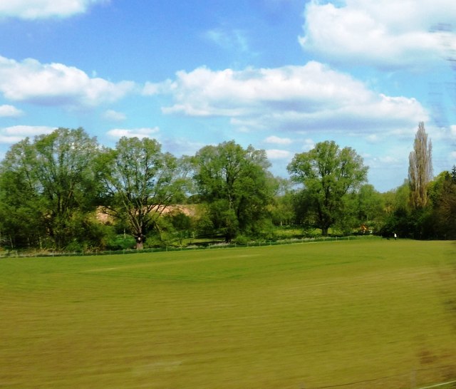
Image: © Clint Mann Taken: 4 May 2016
Footpath passes around edge of field. River Blackwater runs across image in mid-distance. Viewed from railway line.
Images are licensed for reuse under creativecommons.org/licenses/by-sa/2.0
Image Location
Latitude
51.846184
Longitude
0.709916