Paddy's Park, Ripon
Introduction
The photograph on this page of Paddy's Park, Ripon by Stephen Craven as part of the Geograph project.
The Geograph project started in 2005 with the aim of publishing, organising and preserving representative images for every square kilometre of Great Britain, Ireland and the Isle of Man.

There are currently over 7.5m images from over 14,400 individuals and you can help contribute to the project by visiting https://www.geograph.org.uk
Paddy's Park, Ripon
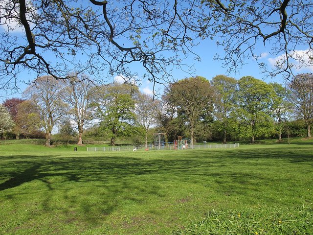
Image: © Stephen Craven Taken: 2 May 2016
Also spelled as Paddies Park; on the east side of Stonebridgegate, opposite Princess Road. A 3 acre (12.ha) site owned by Harrogate Borough Council and open to the public.
Images are licensed for reuse under creativecommons.org/licenses/by-sa/2.0
Image Location


Leaflet Map data © OpenStreetMap
Latitude
54.139628
Longitude
-1.516891