The Fereneze Hills
Introduction
The photograph on this page of The Fereneze Hills by Lairich Rig as part of the Geograph project.
The Geograph project started in 2005 with the aim of publishing, organising and preserving representative images for every square kilometre of Great Britain, Ireland and the Isle of Man.

There are currently over 7.5m images from over 14,400 individuals and you can help contribute to the project by visiting https://www.geograph.org.uk
The Fereneze Hills
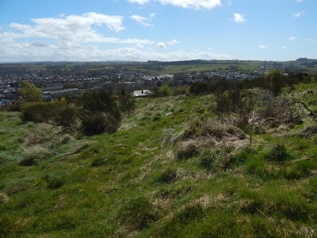
Image: © Lairich Rig Taken: 2 May 2016
The view is from beside the Image, which I had come across by accident (the trip was unplanned, and I had no map), and it shows the grassy slopes typical of this part of the hills. Barrhead itself is the built-up area in the background. My attention was also drawn to the skyline, and to the small hills visible there. The one at the extreme right is Image in Image ("so called from its resemblance to a pillion" – OS Name Books). The one at the centre of the skyline is Duncarnock in Image, where there is an ancient hill-fort (Image). On the origins of the name Fereneze itself, see Image
Images are licensed for reuse under creativecommons.org/licenses/by-sa/2.0
Image Location
Latitude
55.803302
Longitude
-4.406511