Somerset & Dorset pub, Burnham-on-Sea
Introduction
The photograph on this page of Somerset & Dorset pub, Burnham-on-Sea by Jaggery as part of the Geograph project.
The Geograph project started in 2005 with the aim of publishing, organising and preserving representative images for every square kilometre of Great Britain, Ireland and the Isle of Man.

There are currently over 7.5m images from over 14,400 individuals and you can help contribute to the project by visiting https://www.geograph.org.uk
Somerset & Dorset pub, Burnham-on-Sea
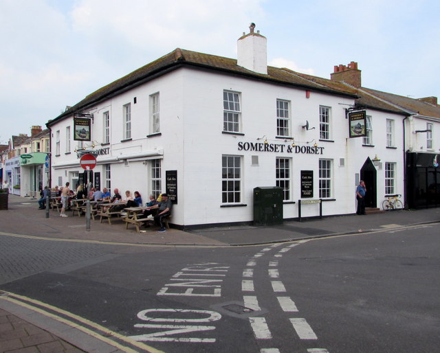
Image: © Jaggery Taken: 12 May 2016
Town centre pub at 1 High Street, on the corner of Abingdon Street. The pub is located near the site of the demolished Burnham-on-Sea railway station. The station was the terminus of the Burnham branch of the Somerset and Dorset Joint Railway (the S&D). http://www.geograph.org.uk/photo/4953966 to a closer view of one of the pub name signs.
Images are licensed for reuse under creativecommons.org/licenses/by-sa/2.0
Image Location
Latitude
51.234307
Longitude
-2.99756