Bend on Holyfield Road (B194)
Introduction
The photograph on this page of Bend on Holyfield Road (B194) by Robin Webster as part of the Geograph project.
The Geograph project started in 2005 with the aim of publishing, organising and preserving representative images for every square kilometre of Great Britain, Ireland and the Isle of Man.

There are currently over 7.5m images from over 14,400 individuals and you can help contribute to the project by visiting https://www.geograph.org.uk
Bend on Holyfield Road (B194)
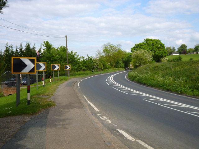
Image: © Robin Webster Taken: 15 May 2016
The start of a not very pleasant 500 m walk along the busy road with no sidewalk (once the near bit gives out) from Stubbins Hall Lane to Puck Lane.
Images are licensed for reuse under creativecommons.org/licenses/by-sa/2.0
Image Location
Latitude
51.70836
Longitude
-0.001097