Leaving the Fereneze Braes Path Network at Barrhead
Introduction
The photograph on this page of Leaving the Fereneze Braes Path Network at Barrhead by Lairich Rig as part of the Geograph project.
The Geograph project started in 2005 with the aim of publishing, organising and preserving representative images for every square kilometre of Great Britain, Ireland and the Isle of Man.

There are currently over 7.5m images from over 14,400 individuals and you can help contribute to the project by visiting https://www.geograph.org.uk
Leaving the Fereneze Braes Path Network at Barrhead
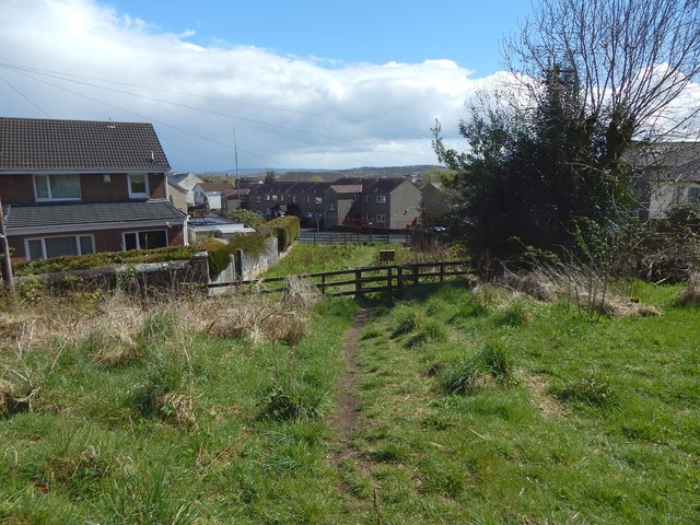
Image: © Lairich Rig Taken: 2 May 2016
The area is shown, from the other side, in Image For example, the back of an information panel that is shown in that picture can be seen in the present view, just beyond the nearer of the two wooden fences. Not far beyond that, at the second fence, the path ends at Graham Street in Barrhead. As noted at the link just given, there has been a path here for over a century.
Images are licensed for reuse under creativecommons.org/licenses/by-sa/2.0
Image Location
Latitude
55.80333
Longitude
-4.400449