Leaving the M4 at J48
Introduction
The photograph on this page of Leaving the M4 at J48 by M J Richardson as part of the Geograph project.
The Geograph project started in 2005 with the aim of publishing, organising and preserving representative images for every square kilometre of Great Britain, Ireland and the Isle of Man.

There are currently over 7.5m images from over 14,400 individuals and you can help contribute to the project by visiting https://www.geograph.org.uk
Leaving the M4 at J48
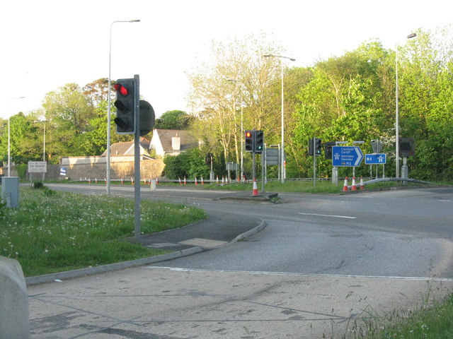
Image: © M J Richardson Taken: 14 May 2016
The junction with Pontardulais Road [A4138], left for Yr Hendy [Hendy] and right for Llanelli.
Images are licensed for reuse under creativecommons.org/licenses/by-sa/2.0
Image Location
Latitude
51.709821
Longitude
-4.059521