Foot crossing over the railway at Fullers End, near Elsenham
Introduction
The photograph on this page of Foot crossing over the railway at Fullers End, near Elsenham by Marathon as part of the Geograph project.
The Geograph project started in 2005 with the aim of publishing, organising and preserving representative images for every square kilometre of Great Britain, Ireland and the Isle of Man.

There are currently over 7.5m images from over 14,400 individuals and you can help contribute to the project by visiting https://www.geograph.org.uk
Foot crossing over the railway at Fullers End, near Elsenham
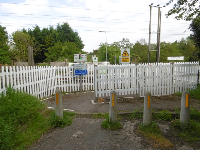
Image: © Marathon Taken: 14 May 2016
The railway line to Cambridge was opened by the Eastern Counties Railway on 30th July 1845. Robin Hood Road to the west of the railway presumably once linked up with Tye Green Road to the east of it. Now it is just a foot crossing known as Fullers End Footpath Crossing. This view is from Robin Hood Road.
Images are licensed for reuse under creativecommons.org/licenses/by-sa/2.0
Image Location
Latitude
51.910857
Longitude
0.229612