Rough grassland beside The Lookout
Introduction
The photograph on this page of Rough grassland beside The Lookout by Richard Sutcliffe as part of the Geograph project.
The Geograph project started in 2005 with the aim of publishing, organising and preserving representative images for every square kilometre of Great Britain, Ireland and the Isle of Man.

There are currently over 7.5m images from over 14,400 individuals and you can help contribute to the project by visiting https://www.geograph.org.uk
Rough grassland beside The Lookout
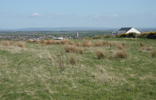
Image: © Richard Sutcliffe Taken: 14 May 2016
The Lookout is the house on the right. It is well named. The view looks over Kilwinning, with the tower of the Abbey standing out above the rest of the buildings.
Images are licensed for reuse under creativecommons.org/licenses/by-sa/2.0
Image Location
Latitude
55.660015
Longitude
-4.72938