Beside Gareloch Road
Introduction
The photograph on this page of Beside Gareloch Road by Lairich Rig as part of the Geograph project.
The Geograph project started in 2005 with the aim of publishing, organising and preserving representative images for every square kilometre of Great Britain, Ireland and the Isle of Man.

There are currently over 7.5m images from over 14,400 individuals and you can help contribute to the project by visiting https://www.geograph.org.uk
Beside Gareloch Road
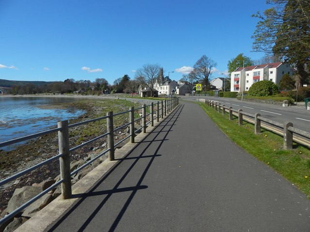
Image: © Lairich Rig Taken: 21 Apr 2016
This is the wide footpath and cycle path beside the road. The picture was taken from the same point as Image, but the view is in the opposite direction. The picture was taken from near the junction with Spy's Lane. Image can be seen among the buildings clustered ahead.
Images are licensed for reuse under creativecommons.org/licenses/by-sa/2.0
Image Location
Latitude
56.01613
Longitude
-4.778372