North end of Taylor Street, Barnoldswick.
Introduction
The photograph on this page of North end of Taylor Street, Barnoldswick. by Dr Neil Clifton as part of the Geograph project.
The Geograph project started in 2005 with the aim of publishing, organising and preserving representative images for every square kilometre of Great Britain, Ireland and the Isle of Man.

There are currently over 7.5m images from over 14,400 individuals and you can help contribute to the project by visiting https://www.geograph.org.uk
North end of Taylor Street, Barnoldswick.
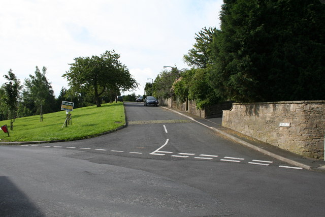
Image: © Dr Neil Clifton Taken: 8 Jul 2007
This is looking south into Taylor Street, with Pennine Way on the right, and Butts on the left. The other end of Taylor Street is a dead end for motor vehicles.
Images are licensed for reuse under creativecommons.org/licenses/by-sa/2.0
Image Location
Latitude
53.918359
Longitude
-2.192261