Footpath, Cwm Dows
Introduction
The photograph on this page of Footpath, Cwm Dows by M J Roscoe as part of the Geograph project.
The Geograph project started in 2005 with the aim of publishing, organising and preserving representative images for every square kilometre of Great Britain, Ireland and the Isle of Man.

There are currently over 7.5m images from over 14,400 individuals and you can help contribute to the project by visiting https://www.geograph.org.uk
Footpath, Cwm Dows
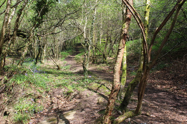
Image: © M J Roscoe Taken: 12 May 2016
Public footpath up to Blaen Cwmdows, viewed from end of footbridge in Image, part of Cwm Dows Valley Site of Importance for Nature Conservation.
Images are licensed for reuse under creativecommons.org/licenses/by-sa/2.0
Image Location
Latitude
51.668761
Longitude
-3.157752