Ruin at Tintochland
Introduction
The photograph on this page of Ruin at Tintochland by Alan O'Dowd as part of the Geograph project.
The Geograph project started in 2005 with the aim of publishing, organising and preserving representative images for every square kilometre of Great Britain, Ireland and the Isle of Man.

There are currently over 7.5m images from over 14,400 individuals and you can help contribute to the project by visiting https://www.geograph.org.uk
Ruin at Tintochland
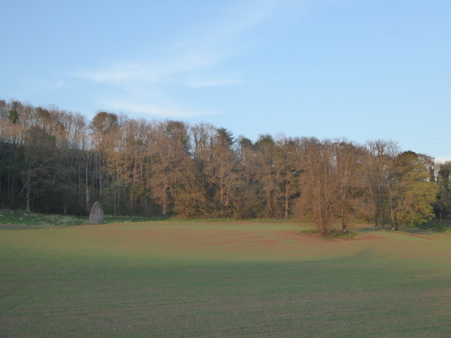
Image: © Alan O'Dowd Taken: 10 May 2016
A gable-end is still standing on the site of a farm shown on 19th Century maps as Tintochland, the name possibly deriving from the Gaelic word 'teinnteach' (fiery), the likely derivation of the dominant local hill Tinto.
Images are licensed for reuse under creativecommons.org/licenses/by-sa/2.0
Image Location
Latitude
55.682753
Longitude
-3.805437