Footbridge, Brislington
Introduction
The photograph on this page of Footbridge, Brislington by Derek Harper as part of the Geograph project.
The Geograph project started in 2005 with the aim of publishing, organising and preserving representative images for every square kilometre of Great Britain, Ireland and the Isle of Man.

There are currently over 7.5m images from over 14,400 individuals and you can help contribute to the project by visiting https://www.geograph.org.uk
Footbridge, Brislington
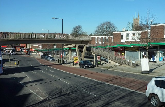
Image: © Derek Harper Taken: 24 Feb 2016
The A4 Bath Road drops down beneath the bridge and past Brislington's shops, with the tower of St Luke's church (see Image).
Images are licensed for reuse under creativecommons.org/licenses/by-sa/2.0
Image Location
Latitude
51.433391
Longitude
-2.547166