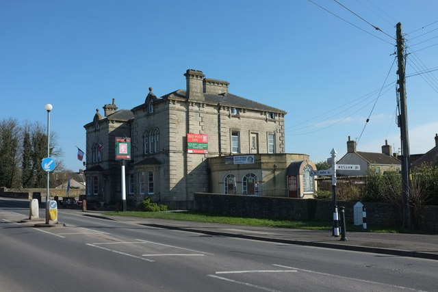
Red Post Inn, Peasedown St John
Introduction
The photograph on this page of Red Post Inn, Peasedown St John by Derek Harper as part of the Geograph project.
The Geograph project started in 2005 with the aim of publishing, organising and preserving representative images for every square kilometre of Great Britain, Ireland and the Isle of Man.
There are currently over 7.5m images from over 14,400 individuals and you can help contribute to the project by visiting https://www.geograph.org.uk

Image: © Derek Harper Taken: 24 Feb 2016
The pub, also shown in Image, is listed and described at https://www.historicengland.org.uk/listing/the-list/list-entry/1365679 . The pub dates from 1851, when it looked forward to nearly 150 years of the main road to Bath running past its doors along the Fosse Way; the A367 now bypasses the village and the pub. Also listed and visible on the right by the junction with Wellow Lane is the white-painted turnpike boundary marker with a pointed top dated 1827 https://www.historicengland.org.uk/listing/the-list/list-entry/1129504 .

