Byron Grove, Barnoldswick, Yorkshire
Introduction
The photograph on this page of Byron Grove, Barnoldswick, Yorkshire by Dr Neil Clifton as part of the Geograph project.
The Geograph project started in 2005 with the aim of publishing, organising and preserving representative images for every square kilometre of Great Britain, Ireland and the Isle of Man.

There are currently over 7.5m images from over 14,400 individuals and you can help contribute to the project by visiting https://www.geograph.org.uk
Byron Grove, Barnoldswick, Yorkshire
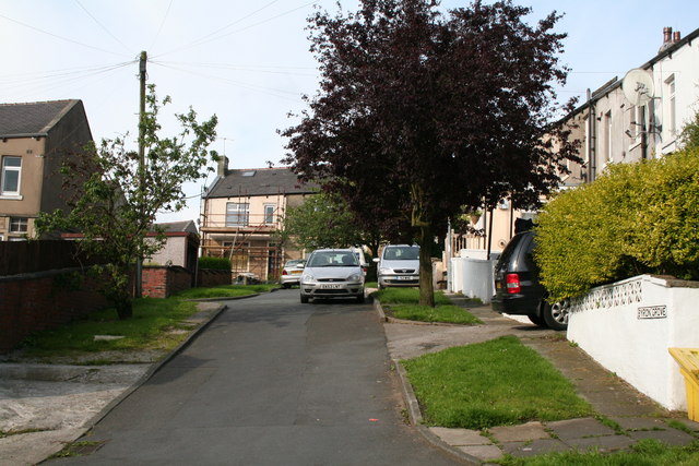
Image: © Dr Neil Clifton Taken: 8 Jul 2007
Byron Grove is just a short street, running up from Frederick Street to Dickens Avenue. Only four houses have numbers on Byron Grove: from the near end (Frederick Street), Nos 1,3,5 and 7. It is surprising that the numbers given were not 2,4,6 and 8, as, in Barnoldswick and in most other Northern towns, the convention is to allocate odd numbers to the left and even to the right, when starting from the lower-numbered end.
Images are licensed for reuse under creativecommons.org/licenses/by-sa/2.0
Image Location
Latitude
53.919792
Longitude
-2.194856