Semis, Lower Weare
Introduction
The photograph on this page of Semis, Lower Weare by Derek Harper as part of the Geograph project.
The Geograph project started in 2005 with the aim of publishing, organising and preserving representative images for every square kilometre of Great Britain, Ireland and the Isle of Man.

There are currently over 7.5m images from over 14,400 individuals and you can help contribute to the project by visiting https://www.geograph.org.uk
Semis, Lower Weare
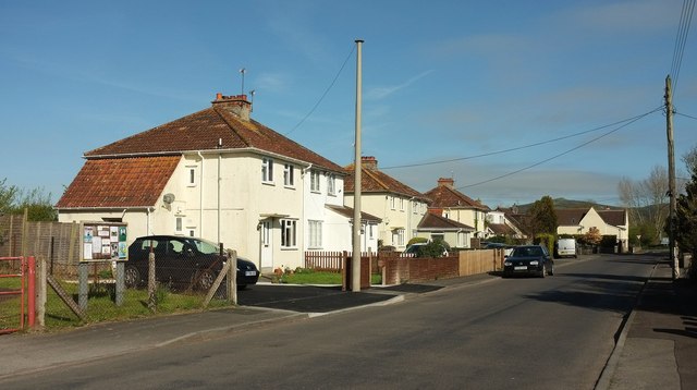
Image: © Derek Harper Taken: 4 May 2016
On the last stretch of Notting Hill Way before it meets the A38.
Images are licensed for reuse under creativecommons.org/licenses/by-sa/2.0
Image Location
Latitude
51.278161
Longitude
-2.853132