Mill House, Stone Allerton
Introduction
The photograph on this page of Mill House, Stone Allerton by Derek Harper as part of the Geograph project.
The Geograph project started in 2005 with the aim of publishing, organising and preserving representative images for every square kilometre of Great Britain, Ireland and the Isle of Man.

There are currently over 7.5m images from over 14,400 individuals and you can help contribute to the project by visiting https://www.geograph.org.uk
Mill House, Stone Allerton
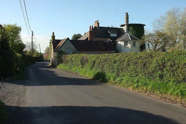
Image: © Derek Harper Taken: 4 May 2016
Another view of the distinctive house shown in Image, built on a former windmill which is described by Martin Watts at http://www.b-i-a-s.org.uk/BIAS_Journal6_WINDMILLS_OF_SOMERSET.pdf :"known originally as 'Weare Mill', {it} was built in 1760 and worked until the end of the 19th century ... incorporated into a new dwelling built in 1910-11".
Images are licensed for reuse under creativecommons.org/licenses/by-sa/2.0
Image Location
Latitude
51.259827
Longitude
-2.851789