Claypotts Park
Introduction
The photograph on this page of Claypotts Park by Douglas Nelson as part of the Geograph project.
The Geograph project started in 2005 with the aim of publishing, organising and preserving representative images for every square kilometre of Great Britain, Ireland and the Isle of Man.

There are currently over 7.5m images from over 14,400 individuals and you can help contribute to the project by visiting https://www.geograph.org.uk
Claypotts Park
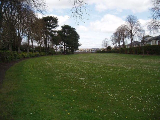
Image: © Douglas Nelson Taken: 5 May 2016
Many years ago the park was allowed to flood in winter and freeze over and utilised as a skating rink. It is believed that a drain is extant to allow the flooded area to return to grass.
Images are licensed for reuse under creativecommons.org/licenses/by-sa/2.0
Image Location
Latitude
56.475852
Longitude
-2.888937