The Downside Way, Cobham
Introduction
The photograph on this page of The Downside Way, Cobham by Alan Hunt as part of the Geograph project.
The Geograph project started in 2005 with the aim of publishing, organising and preserving representative images for every square kilometre of Great Britain, Ireland and the Isle of Man.

There are currently over 7.5m images from over 14,400 individuals and you can help contribute to the project by visiting https://www.geograph.org.uk
The Downside Way, Cobham
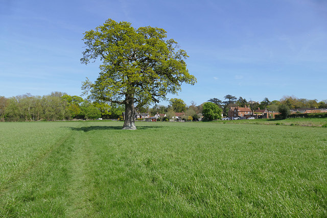
Image: © Alan Hunt Taken: 4 May 2016
The Downside Way footpath which follows a circular route from Cobham through Hatchford, May's Green and Downside back to Cobham. The Plough Inn, Cobham can be seen in the background.
Images are licensed for reuse under creativecommons.org/licenses/by-sa/2.0
Image Location
Latitude
51.32224
Longitude
-0.414044