From Brinscombe Hill
Introduction
The photograph on this page of From Brinscombe Hill by Derek Harper as part of the Geograph project.
The Geograph project started in 2005 with the aim of publishing, organising and preserving representative images for every square kilometre of Great Britain, Ireland and the Isle of Man.

There are currently over 7.5m images from over 14,400 individuals and you can help contribute to the project by visiting https://www.geograph.org.uk
From Brinscombe Hill
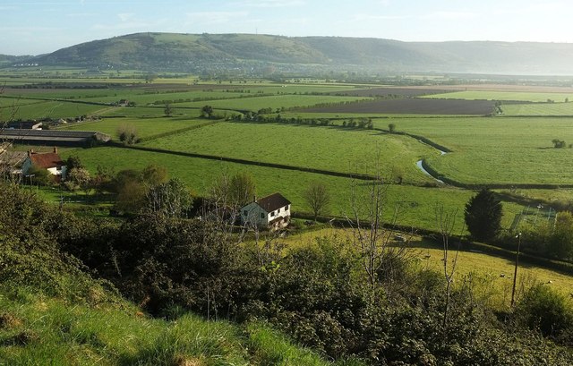
Image: © Derek Harper Taken: 4 May 2016
A view across the levels to Axbridge and the Mendips, with houses on Brinscombe Lane below the hillside. The winding rhyne on the right must be old and carries a parish boundary, but is unnamed on maps.
Images are licensed for reuse under creativecommons.org/licenses/by-sa/2.0
Image Location


Leaflet Map data © OpenStreetMap
Latitude
51.265111
Longitude
-2.829814