Old Maldon Rd
Introduction
The photograph on this page of Old Maldon Rd by Glyn Baker as part of the Geograph project.
The Geograph project started in 2005 with the aim of publishing, organising and preserving representative images for every square kilometre of Great Britain, Ireland and the Isle of Man.

There are currently over 7.5m images from over 14,400 individuals and you can help contribute to the project by visiting https://www.geograph.org.uk
Old Maldon Rd
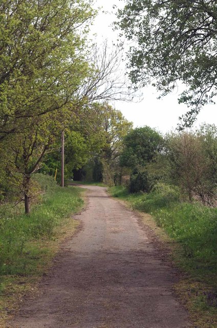
Image: © Glyn Baker Taken: 6 May 2016
I am 90% sure this back road to nowhere was once the main Maldon road before A414 improvements cut off the corner.
Images are licensed for reuse under creativecommons.org/licenses/by-sa/2.0
Image Location


Leaflet Map data © OpenStreetMap
Latitude
51.715462
Longitude
0.648956