Brinscombe Lane
Introduction
The photograph on this page of Brinscombe Lane by Derek Harper as part of the Geograph project.
The Geograph project started in 2005 with the aim of publishing, organising and preserving representative images for every square kilometre of Great Britain, Ireland and the Isle of Man.

There are currently over 7.5m images from over 14,400 individuals and you can help contribute to the project by visiting https://www.geograph.org.uk
Brinscombe Lane
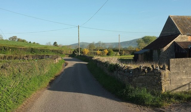
Image: © Derek Harper Taken: 4 May 2016
Passing Stream Farm, with a right-angled bend to the left ahead, taking the lane up steeply from the edge of the levels. Two paths, AX26/20 and AX26/21, leave the lane at the bend, heading off to the right. The distant hills across the levels include the distinctive Crook Peak.
Images are licensed for reuse under creativecommons.org/licenses/by-sa/2.0
Image Location
Latitude
51.268134
Longitude
-2.834599