Dumfries and Galloway : The A74(M) Motorway
Introduction
The photograph on this page of Dumfries and Galloway : The A74(M) Motorway by Lewis Clarke as part of the Geograph project.
The Geograph project started in 2005 with the aim of publishing, organising and preserving representative images for every square kilometre of Great Britain, Ireland and the Isle of Man.

There are currently over 7.5m images from over 14,400 individuals and you can help contribute to the project by visiting https://www.geograph.org.uk
Dumfries and Galloway : The A74(M) Motorway
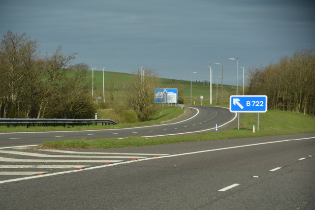
Image: © Lewis Clarke Taken: 22 Apr 2016
Looking towards the slip road from the motorway to junction 20.
Images are licensed for reuse under creativecommons.org/licenses/by-sa/2.0
Image Location
Latitude
55.050193
Longitude
-3.214891