Towerfield Close, Shoeburyness
Introduction
The photograph on this page of Towerfield Close, Shoeburyness by David Kemp as part of the Geograph project.
The Geograph project started in 2005 with the aim of publishing, organising and preserving representative images for every square kilometre of Great Britain, Ireland and the Isle of Man.

There are currently over 7.5m images from over 14,400 individuals and you can help contribute to the project by visiting https://www.geograph.org.uk
Towerfield Close, Shoeburyness
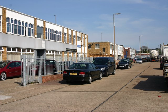
Image: © David Kemp Taken: 6 May 2016
Towerfield Close is a road on the Towerfield Industrial Estate. The name 'Towerfield' derives (I think) from the tower beneath which railway locomotives were supplied with coal at the nearby Shoeburyness motive power depot. This arrangement ceased when the line was electrified in 1962 but the extensive depot still survives just behind the buildings on the left.
Images are licensed for reuse under creativecommons.org/licenses/by-sa/2.0
Image Location
Latitude
51.532114
Longitude
0.787397