Loch ?ireasort
Introduction
The photograph on this page of Loch ?ireasort by Eileen Henderson as part of the Geograph project.
The Geograph project started in 2005 with the aim of publishing, organising and preserving representative images for every square kilometre of Great Britain, Ireland and the Isle of Man.

There are currently over 7.5m images from over 14,400 individuals and you can help contribute to the project by visiting https://www.geograph.org.uk
Loch ?ireasort
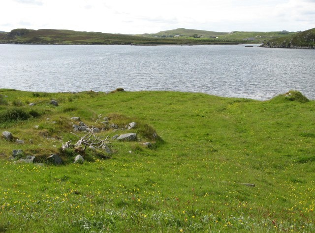
Image: © Eileen Henderson Taken: 29 Jun 2007
Looking across the loch from the south, with the houses of Lacasaidh visible in the distance.
Images are licensed for reuse under creativecommons.org/licenses/by-sa/2.0
Image Location
Latitude
58.089853
Longitude
-6.517444