Chanctonbury Ring Road
Introduction
The photograph on this page of Chanctonbury Ring Road by Simon Carey as part of the Geograph project.
The Geograph project started in 2005 with the aim of publishing, organising and preserving representative images for every square kilometre of Great Britain, Ireland and the Isle of Man.

There are currently over 7.5m images from over 14,400 individuals and you can help contribute to the project by visiting https://www.geograph.org.uk
Chanctonbury Ring Road
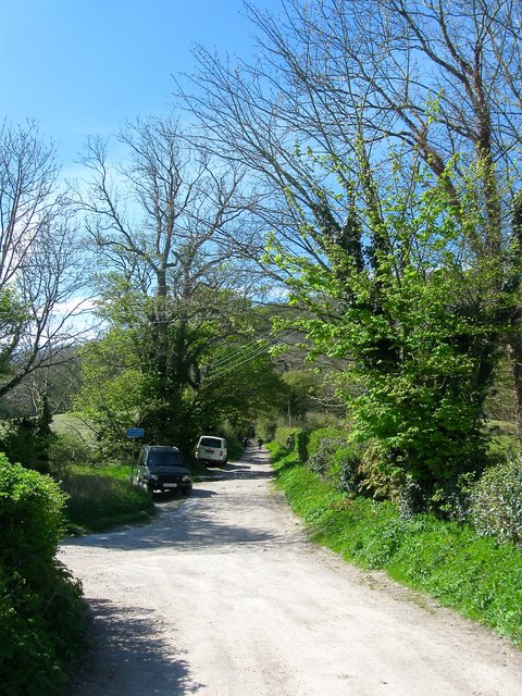
Image: © Simon Carey Taken: 1 May 2016
The highway ends at the entrance to a covered reservoir just beyond the walkers in the distance. After that it becomes a track called Wiston Bostal. The track on the left heads to Great Barn Farm carrying a public footpath that heads east to Steyning.
Images are licensed for reuse under creativecommons.org/licenses/by-sa/2.0
Image Location
Latitude
50.898832
Longitude
-0.372867