Mariners Canal, Salford Quays
Introduction
The photograph on this page of Mariners Canal, Salford Quays by David Dixon as part of the Geograph project.
The Geograph project started in 2005 with the aim of publishing, organising and preserving representative images for every square kilometre of Great Britain, Ireland and the Isle of Man.

There are currently over 7.5m images from over 14,400 individuals and you can help contribute to the project by visiting https://www.geograph.org.uk
Mariners Canal, Salford Quays
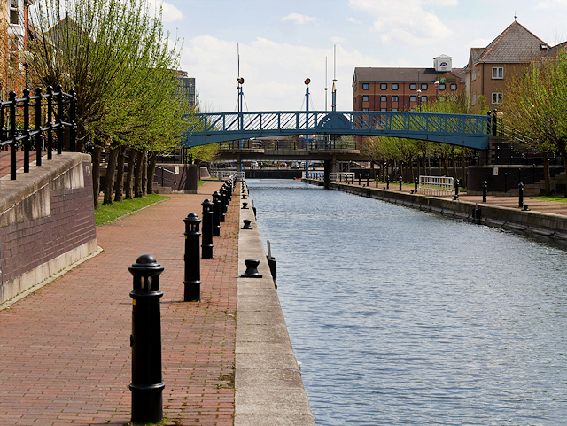
Image: © David Dixon Taken: 5 May 2016
Looking along the length of the Mariners Canal at Salford Quays which was officially opened by the Duke of York on 27 July 1989, having been built to connect the former No 9 and No 8 Docks (now Erie and Ontario Basins). The blue footbridge in the centre of the canal is marked ‘Grain Wharf’. This references the old function of No 9 Dock, where Canadian and American ships would unload their grain cargoes (http://www.visitsalford.info/documents/quays.pdf Visit Salford Quays).
Images are licensed for reuse under creativecommons.org/licenses/by-sa/2.0
Image Location
Latitude
53.472172
Longitude
-2.289215